

Flying Point, Maquoit and Wolfe's Neck
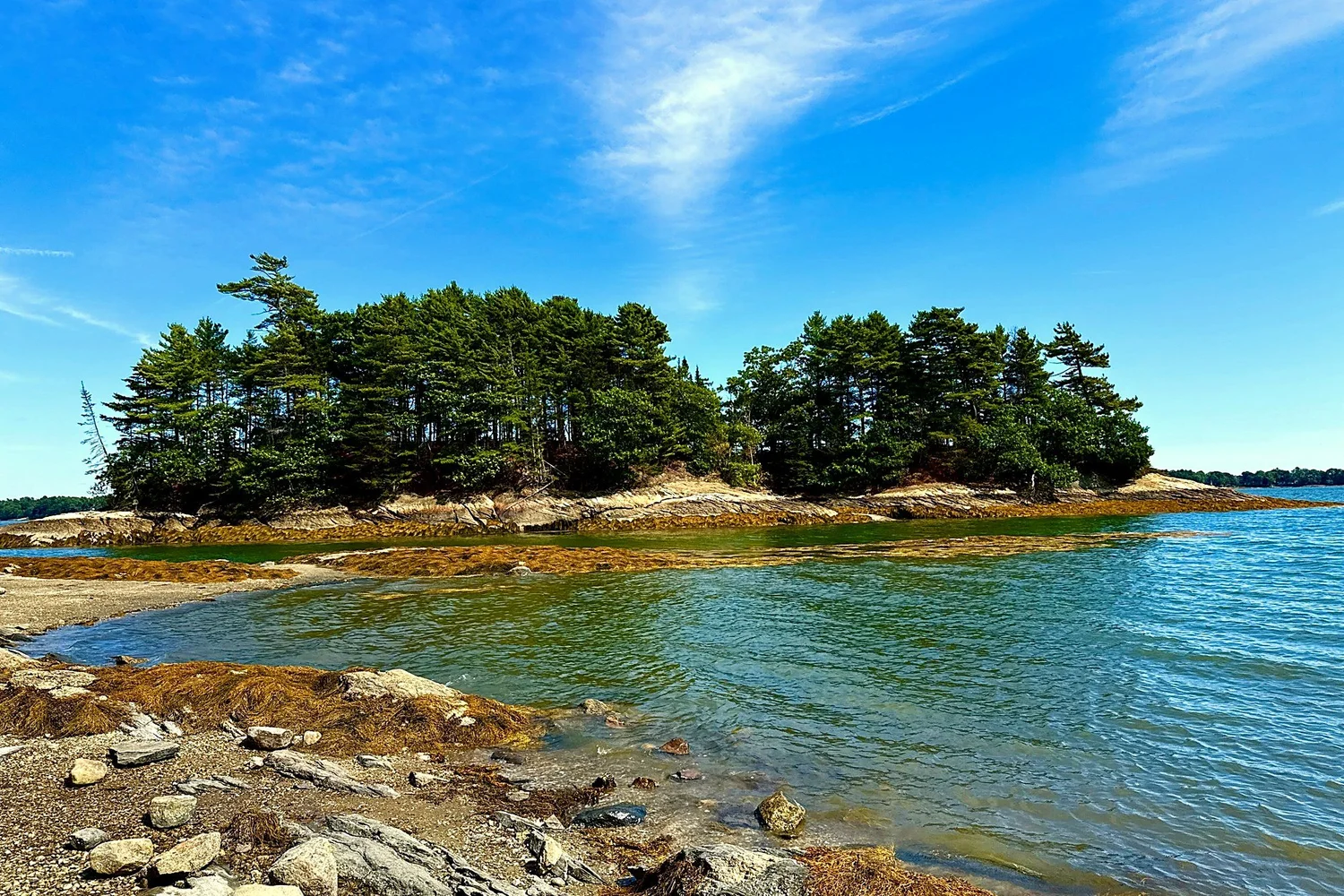
Freeport's two peninsulas have the highest median sale price in town. Flying Point reaches southeast between the Harraseeket and Maquoit Bay. Wolfe's Neck is the narrower peninsula to its west, most of it state park and farm. Both are reached from Bow Street, which becomes Flying Point Road at the edge of the village.
History
Henry and Rachel Woolfe settled the neck in 1733. In the twentieth century Lawrence and Eleanor Houston Smith farmed it, gave 244 acres of shore woods to the state in 1969 for what became Wolfe's Neck Woods State Park, and in 1985 gave the farm itself to what is now the Wolfe's Neck Center. Flying Point was always a separate community from the river villages, with its own farms and summer colony, which is why the Historical Society kept it out of the Harraseeket district. Maquoit Bay is shallow, muddy at low tide and rich in clams and birds, and it faces east toward Brunswick's Mere Point.
The houses
Three kinds. Waterfront houses on Maquoit Drive, Lower Flying Point Road, Brickyard Cove, Goose Cove Lane and Merganser Way, from 1960s cottages to new builds, most on private roads with road agreements. Water access subdivisions from the 1990s and 2000s off Flying Point Road, such as Newfield Ridge, Arrowhead Ridge and Chickadee Lane, with deeded rights of way to the bay. And the antique capes and farmhouses along Flying Point Road itself, some from the 1790s. Lots run 1 to 5 acres. Everything here is on well and septic, and the shoreland zone reaches 250 feet in from the high tide line.
Trails and landmarks
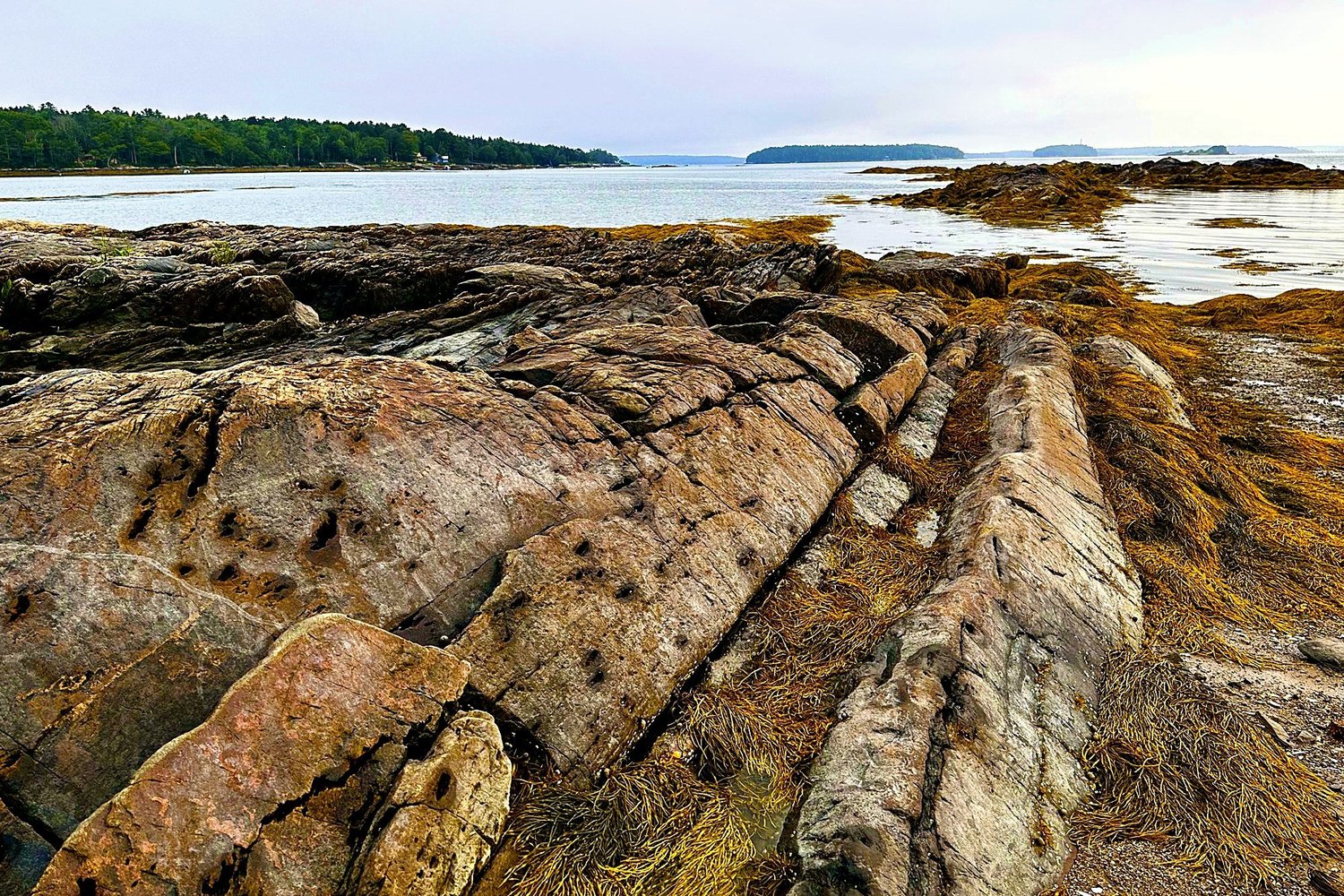
Wolfe's Neck Woods State Park and the osprey nest on Googins Island. Wolfe's Neck Center, with its campground, farm store and trails. The Freeport Conservation Trust trails across town. Bustins Island, reached by boat from South Freeport. Lower Flying Point and Raspberry Cove. The village is 3 miles, Portland 25 minutes.
The market
Flying Point, Maquoit and Wolfe's Neck had the highest median closed price of any part of Freeport in the two years ending October 2026, about $1.2 million, and most sales here closed above $1 million. Based on information from the Maine Real Estate Information System, Inc. (d/b/a Maine Listings) for the period October 2024 through October 2026. © 2026 Maine Listings.
What we check before a listing here goes live
The road agreement and who plows. The exact high tide line, because the setback is measured from it and the surveyed line is not always where the owner thinks. Dock, mooring and seawall permits. Whether the right of way to the water is deeded or by use. Whether the lot sits in the MDR-I district, where the November 2026 ballot question on temporary boat launches applies.
What is my Flying Point home worth?
See the other Freeport areas, or read how we sell a house in Freeport.
Subscribe to the Freeport Property Letter, Freeport property decisions reported from the public record about once a month. Read past issues.