

South Freeport and Porter's Landing
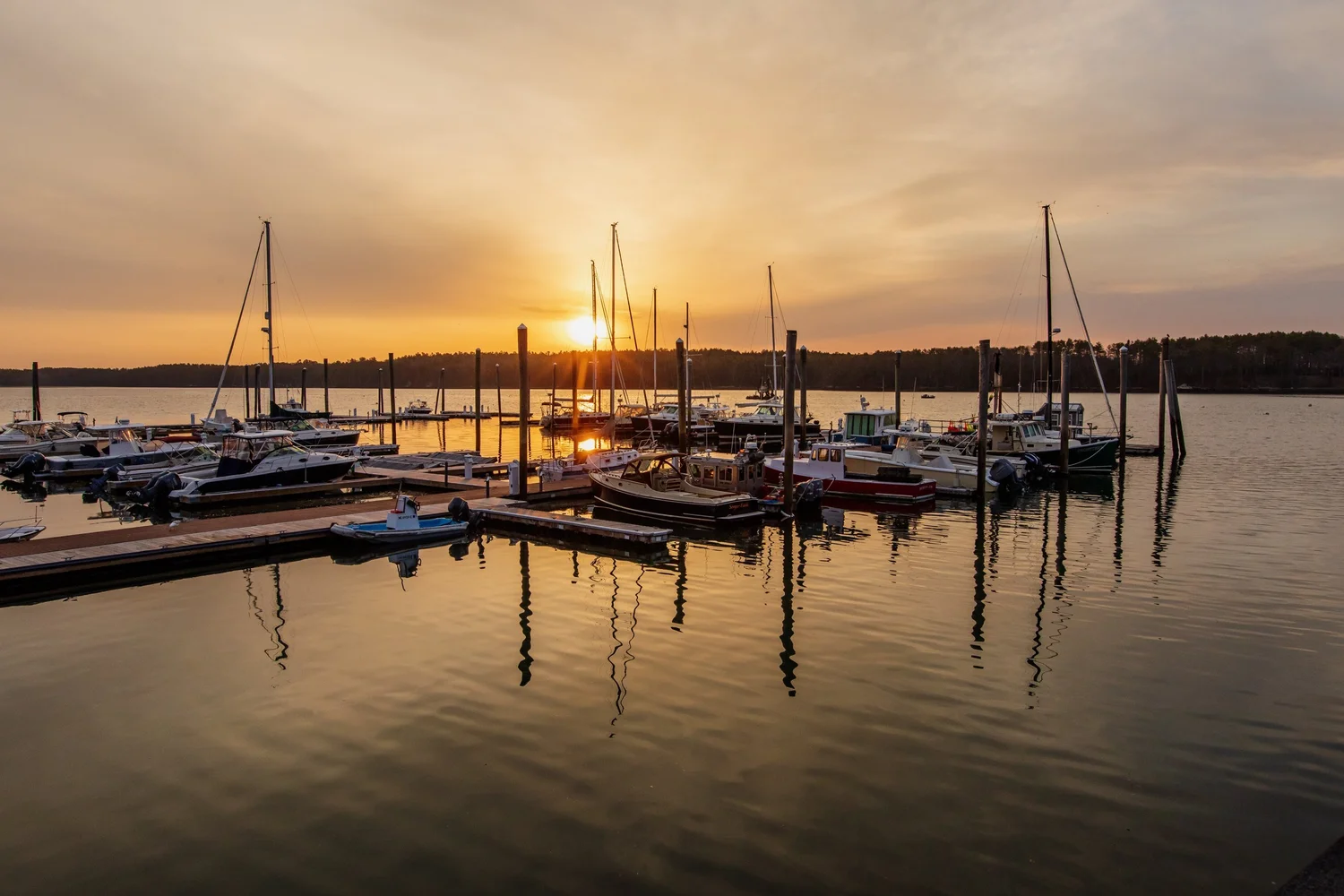
Photo: Jeffrey Scott Smith
South Freeport was once its own village center, and it still behaves like one. It has a harbor with two marinas, a village market, a town dock at Porter's Landing and streets where most of the houses predate the Civil War. Houses here sell on the village as much as on the house.
History
Seward Porter started building ships at what became Porter's Landing in 1782, and South Freeport grew into the largest of the three river villages, with the most shipyards and the biggest workforce. Fishing, canning, a brickyard and salt works followed. The villages were saltwater farm country too, with hay cut from the river marshes. South Freeport, Porter's Landing and Mast Landing were listed together as the Harraseeket Historic District on the National Register in 1974. The district has no local design review, but buyers here expect the history of a house to be told, and the deed research usually turns up a captain or a shipwright.
The houses
Federal and Greek Revival houses from 1800 to 1860 on South Street, Main Street and Harraseeket Road, several of them brick. Capes and ranches from the 1950s through the 1970s on South Freeport Road, Sandy Beach Road and the Cushing Briggs lanes. A few contemporaries on the water. Village lots are small, often under half an acre, on public water and sewer. The sewer district ends at the village edge, so a house a quarter mile out is usually on a septic system, and the shoreland zone covers every lot that touches the river or the harbor.
Trails and landmarks
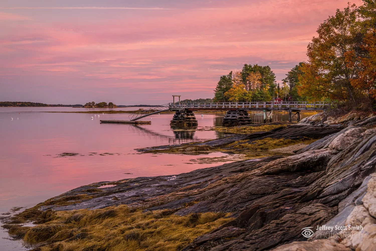
Photo: Jeffrey Scott Smith
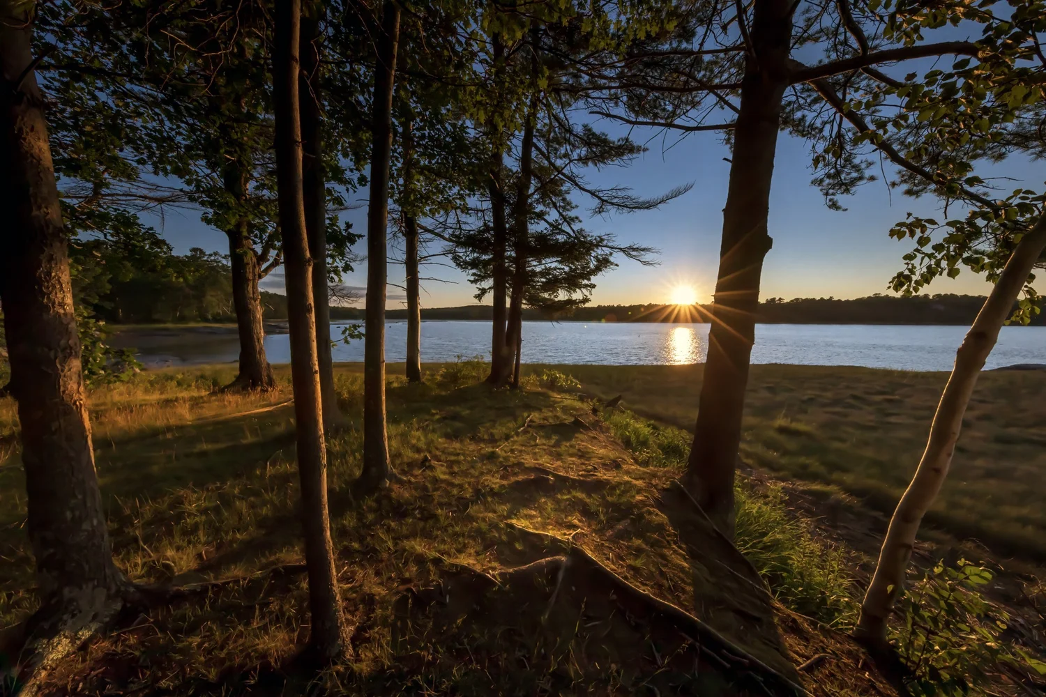
Photo: Jeffrey Scott Smith
South Freeport Harbor and its moorings. Brewer South Freeport Marine and Strouts Point Wharf. The South Freeport Village Market, for coffee, sandwiches and groceries. Winslow Memorial Park, the town beach and campground on Staples Point, 1.5 miles from the village. The town dock at Porter's Landing. Bliss Woods and the Ridge Trail, part of the South Freeport trail system. The stone tower of Casco Castle, all that remains of a 1903 hotel, above Harraseeket Road. Harraseeket Lunch and Lobster on the town wharf, May through October. Downtown Freeport is 2.5 miles, Portland 20 minutes.
The market
South Freeport and Flying Point together accounted for most of Freeport's sales at $1 million or more in the two years ending October 2026. The houses are older than the town average and sell on view, setting and the village itself, and the waterfront lots along the Harraseeket set the top of the range. Based on information from the Maine Real Estate Information System, Inc. (d/b/a Maine Listings) for the period October 2024 through October 2026. © 2026 Maine Listings.
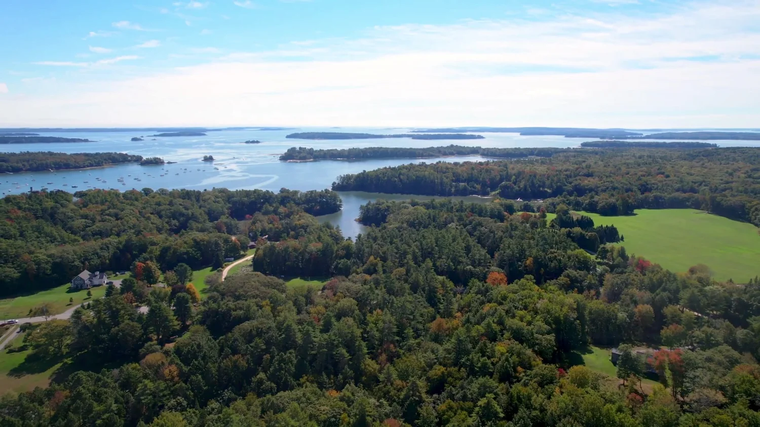
South Freeport to the Harraseeket and Casco Bay. Aerial from Balsam's marketing for 122 South Freeport Road.
Balsam listed and sold 122 South Freeport Road in 2025. Read about Kate, Jonas and Suzanne.
What we check before a listing here goes live
Whether the lot is inside the sewer district. The septic design date and bedroom count against the town record. The shoreland setback and any dock or mooring permit. The age of the house against the deed chain, since tax cards in the district are often off by a decade or more.
What is my South Freeport home worth?
See the other Freeport areas, or read how we sell a house in Freeport and what we check on antique homes.
Subscribe to Freeport on the Record, Freeport property decisions reported from the public record about once a month. Read past issues.